Our services help businesses across Kent and the South East find and resolve issues across a wide range of applications.


Survey Design Services is a leading Geomatics surveying consultancy with a team that specialise in construction, rail, highways and water and waste.
Our services cover all types of investigative surveys for a variety of scenarios using the latest tools and technology.
Our survey services
Topographical Surveys
Helping you map out land features so that you can accurately complete design, engineering and construction projects.
Discover more >Measured Building Surveys (MBS)
Helping architects, designer and planners with to-scale digitised building survey drawings
Discover more >Drainage Surveys
Helping you map and inspect your drainage systems so that you can avoid unexpected problems and ensure smooth construction.
Discover more >CCTV Surveys
Helping you survey drainage systems and culverts so that you can identify blockages, leaks, and pipe damage.
Discover more >Below Ground PAS128
Helping you map underground utilities with Ground Penetrating Radar and electromagnetic location for safer project execution.
Discover more >BIM
Helping you model land and infrastructure in 3D to catch design clashes with existing utilities before they cause problems.
Discover more >Laser Scanning
Helping you capture precise real-world data so you can improve efficiency in your construction, restoration, or infrastructure project.
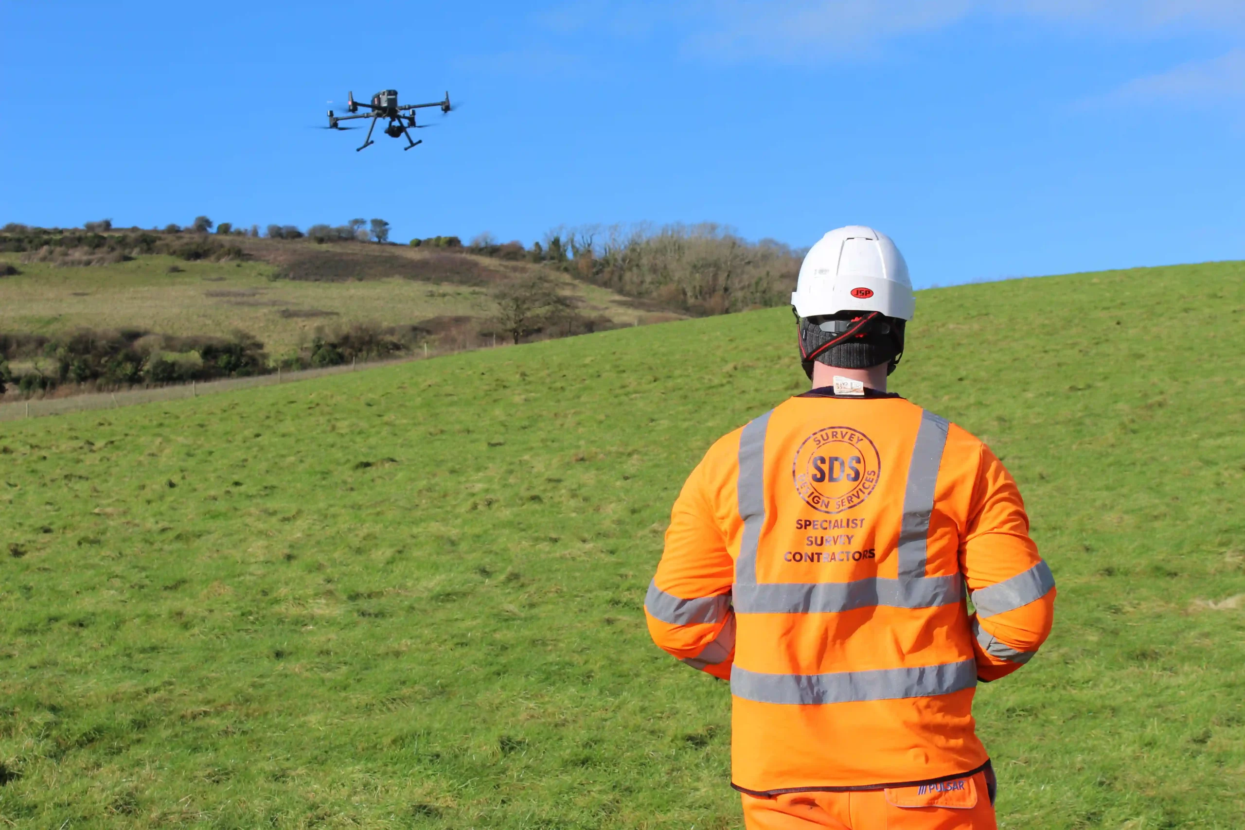
Discover more >UAV / Drone Surveys
Helping you gather precise topographical data and visual inspections from hard-to-reach areas.
Discover more >Impermeable Studies (IAS)
Identifying connections between rain water pipes and gullies with the foul water system assisting with producing calibrated hydraulic models.
Discover more >Manhole Surveys
Helping you capture reliable survey data for manholes, chambers, and pits.
Discover more >Pumping Station Surveys (WPS)
Monitoring pumping stations for performance, safety and efficiency
Discover more >Monitoring Surveys
Providing essential data for a construction project, identifying movement or deformation in a building or structure.
Discover more >Hydrographic Surveys
Helping you calculate water depths, prevent hazards & support flood control systems.
Discover more >HA DDMS Surveys
Using gis and cctv methods combined to collect large amounts of data on the highways drainage network
Discover more >Confined Space Surveys
Monitoring, Scanning and trouble shooting issues through all the small and hard to reach drainage scenarios.
Discover more >Jetting and Lining Services
Cleaning and clearing blockage using high-pressure water, plus remedial works through liners into existing pipes to repair or reinforce it
Discover more >Start a conversation with us today
Get a free estimate of works by
contacting our friendly team today.
- Surveying since 1988
- Simple enquiry form
- Experienced team