Helping you map and inspect your drainage systems so that you can avoid unexpected problems and ensure smooth construction.
Uncover hidden issues with accurate drainage mapping
Drainage surveys assess underground systems to identify issues and help plan construction projects.
What are Drainage Surveys & Investigations?
Drainage Surveys & Investigations are comprehensive examinations of underground drainage systems. Our cutting-edge technology provides accurate assessments that help you to plan effectively and avoid hidden issues that could delay or damage your project.
Whether you’re planning new construction, managing existing infrastructure, or ensuring compliance with regulations, a drainage survey will reduce risk by ensuring decisions are based on reliable data.
When do you need a Drainage Survey & Investigation?
Before building, renovating, or repairing drains and sewers, you need clarity on the exact location, alignment, and condition of the underground systems. Without accurate data on these systems, you risk encountering hidden blockages, pipe misalignments, or damage that can cause costly delays and repairs.
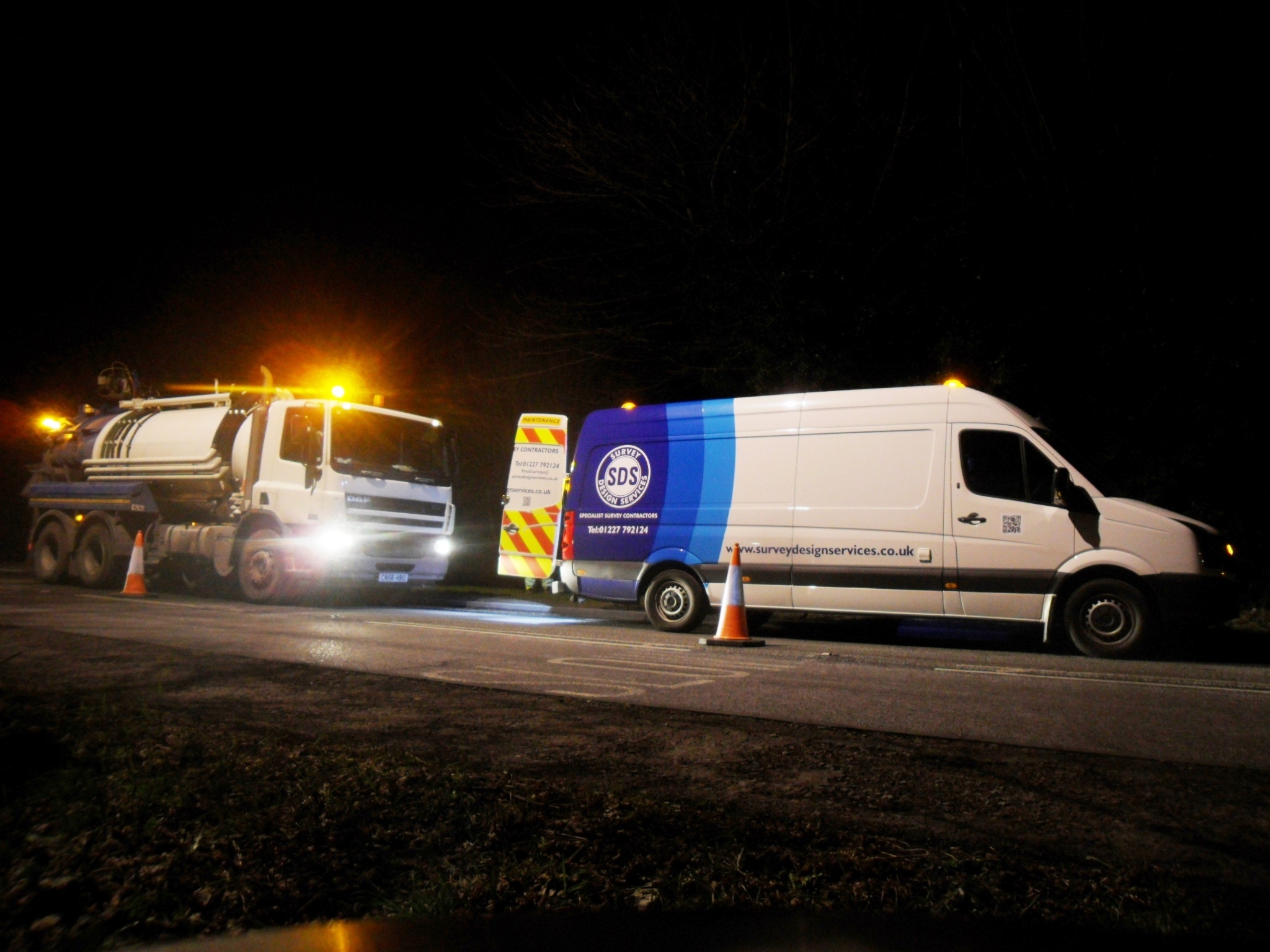
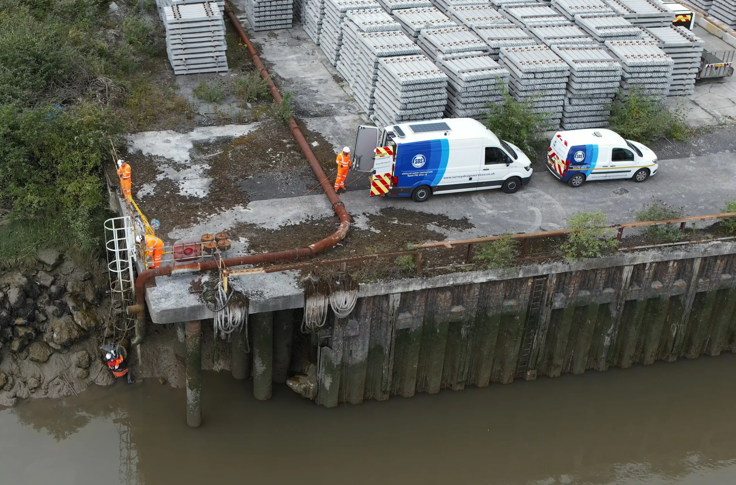
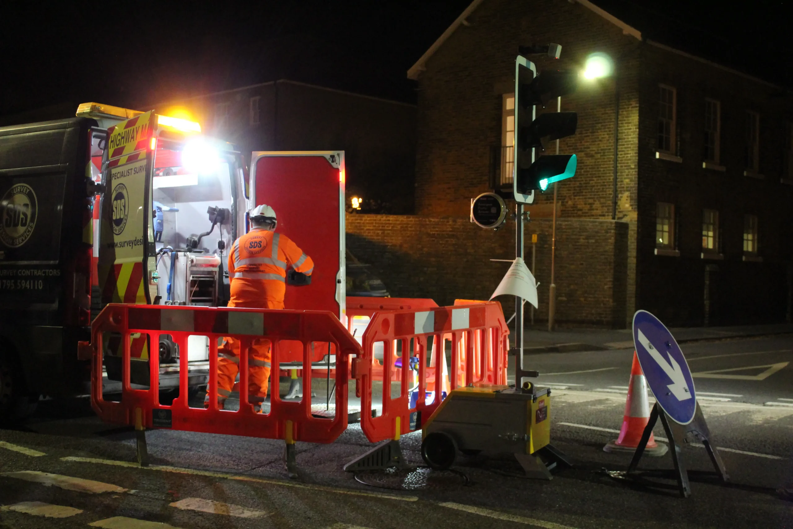
Our Drainage Surveys & Investigations provide comprehensive connectivity and mapping exercises to assess the condition and alignment of underground drainage systems. We use advanced technology such as CCTV, Sonde Tracing, Jetting and GPS Instrumentation to provide you with a drainage plan that shows manhole connections and flow paths.
These surveys are essential when planning new construction, renovating existing properties, or connecting new infrastructure to existing systems. They’re also crucial for ensuring compliance with regulatory requirements, or for securing build-over agreements.
Our surveys provide detailed insights into pipe alignment, depth, and location, helping you to create comprehensive maps for efficient project management.
How do Drainage Survey & Investigations work with SDS?
We use advanced technologies to conduct ‘Line & Level’ surveys, providing you with precise mapping and analysis of underground drainage systems.
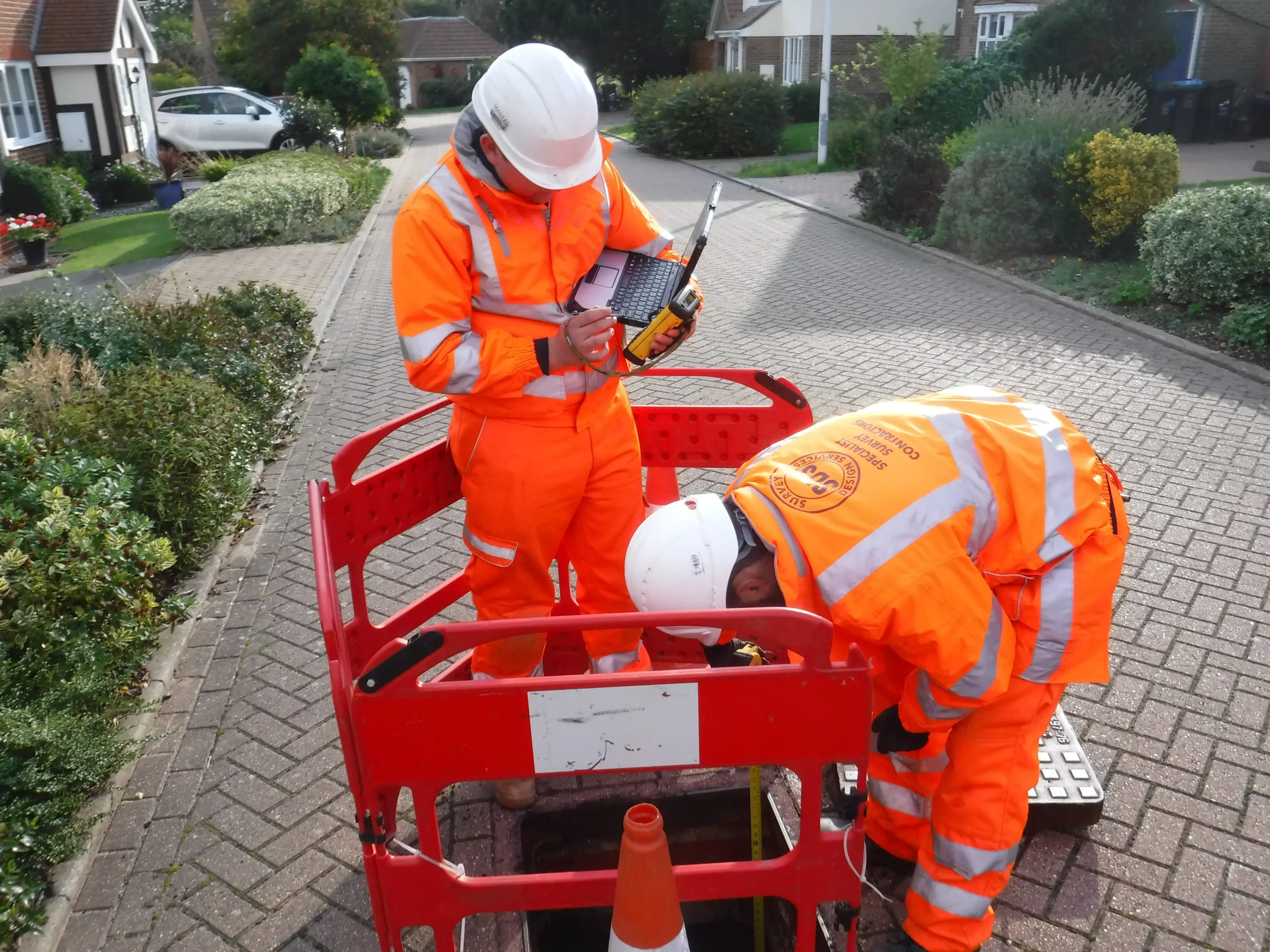
First, we pass a Sonde through pipes or larger sewers. This can be done using a Float, attached to a CCTV Tractor Unit, or using a built-in Sonde signal within the Tractor Unit itself. The Sonde tracks the alignment of the pipe from the ‘Top Side’ and the CCTV system provides live visual inspection.
Next, we use GPS instrumentation to take accurate depth readings and pinpoint locations. This survey method is crucial for meeting regulatory requirements, including easements for new build developments and build-over agreements.
Our approach works alongside our in-house Utility Tracing services, providing you with a complete underground utility map to aid efficient project planning and management.
Start a conversation with us today
Get a Drainage survey estimate by contacting our friendly team today.
Get SDS in for Drainage Surveys & Investigation
At SDS, we’re a long-standing, dedicated surveying business, delivering our services to private and public sectors across Kent and beyond. We specialise in drainage surveys and investigation, helping property developers, construction companies, and water authorities with accurate underground utility mapping, drainage system inspections, and regulatory compliance.
Whether you’re experiencing hidden blockages or planning a new development, we provide precise drainage surveys to help you make informed decisions and streamline your project.
Contact our team today for more information about our surveying services or to book your Drainage Survey and Investigation.