Helping you map out land features so that you can accurately complete design, engineering and construction projects.
Precise site mapping for informed project planning
Topographical surveys map ground contours and site features, providing essential data to help assess land for development.
What are Topographical Surveys?
Topographical Surveys accurately map an area’s ground contours and existing site features. This information plays a crucial role in your design and engineering projects, by helping to ensure that your decisions are based on accurate, reliable terrain data.
Your team can use the data we provide to identify potential challenges to your project, such as uneven terrain or hidden obstacles. This will minimise errors, ensure regulatory compliance, and is the foundation for efficient, cost-effective projects.
When do you need a Topographical Survey?
It can be risky to plan for construction, land development, or environmental management without accurate data about an area of land’s physical features. A topographical survey is the first step towards successful design, construction and engineering projects.
Our survey will give you accurate information about the land’s shape, size, and any features like hills, slopes, rivers, buildings and other prominent features.
Your team can use this data to:
- Define property boundaries
- Assess land for development
- Understand an area’s potential and limitations
- Map terrain for infrastructure projects
- Design and build structures that are safe and cost-effective
Our topographical surveys give you all the information you need to carry out your next project successfully.
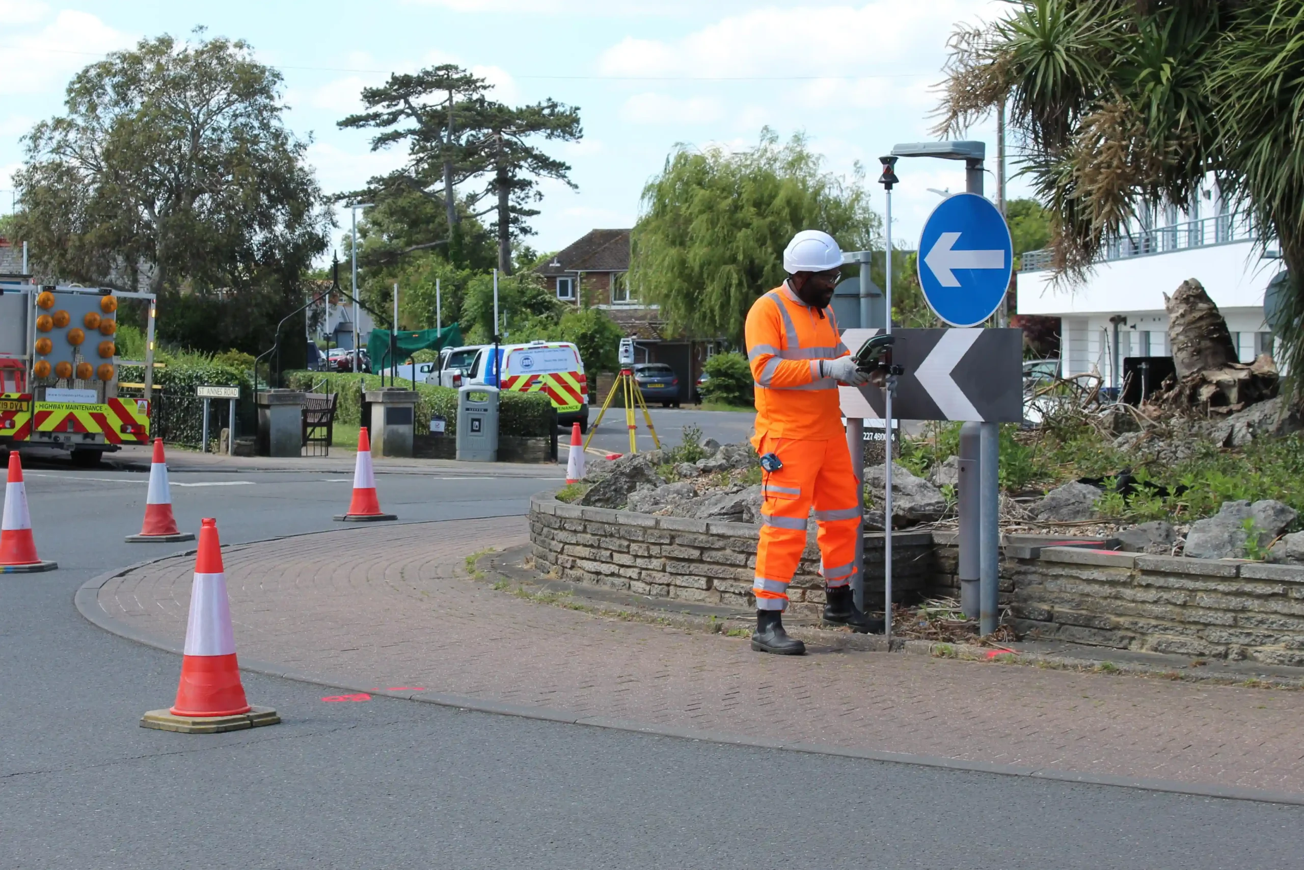
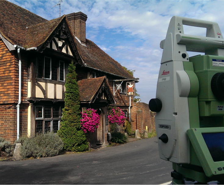
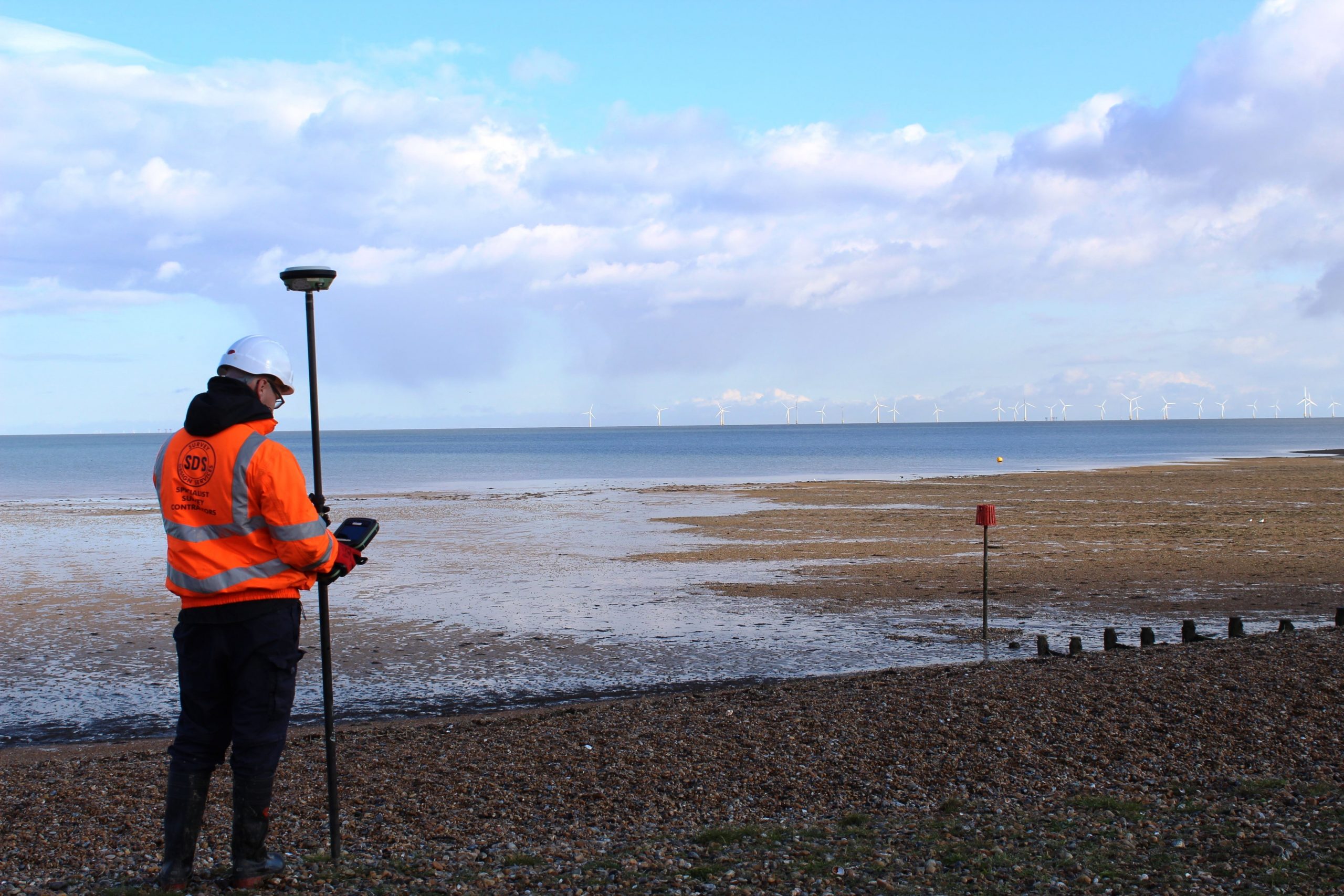
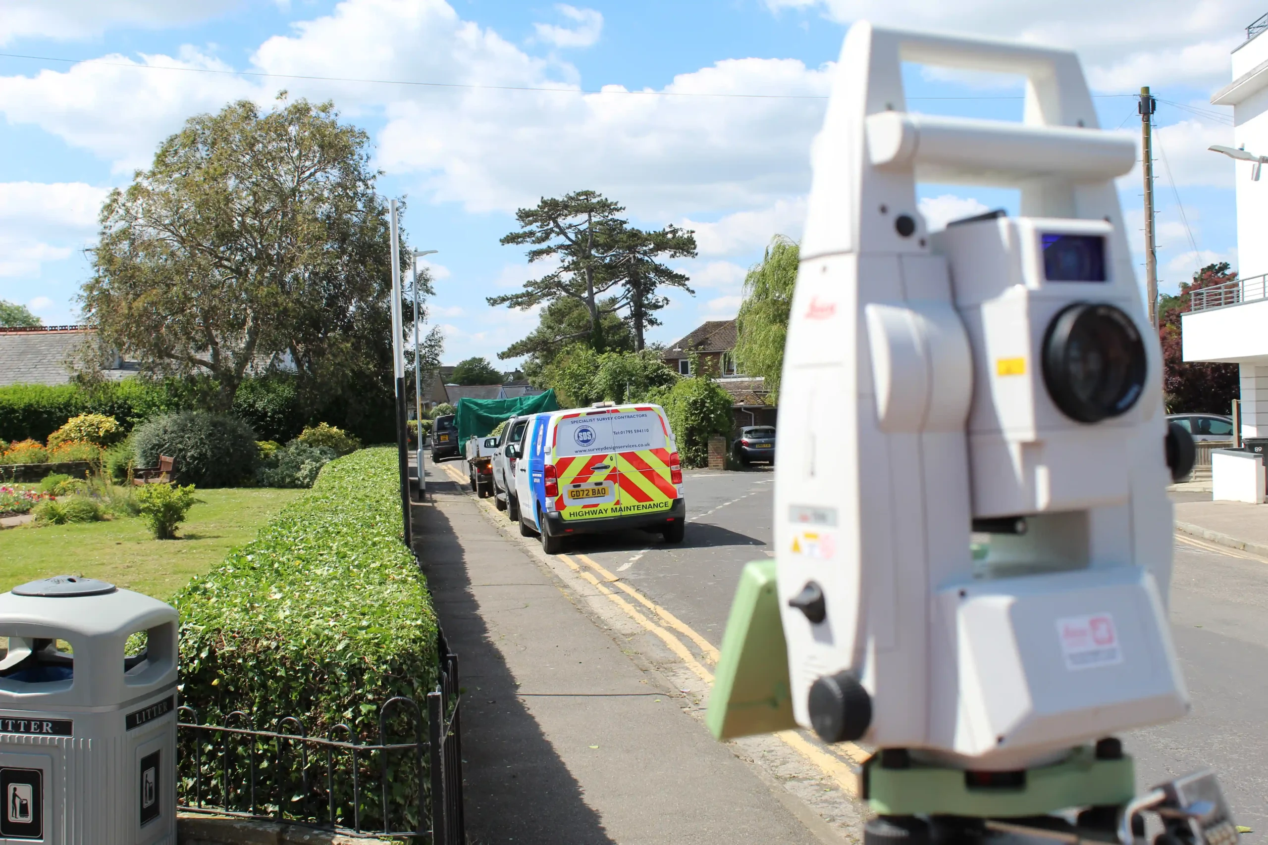
We collect detailed information about your desired site using Leica’s Robotic Total Stations and GNSS GPS equipment. For enhanced data capture, we offer you the option to incorporate UAV/Drone surveys, and can include additional services like underground utility and drainage surveys to meet your specific needs.
If your desired site is in a difficult-to-reach rural or remote area, we use Land Rovers and quad bikes to complete large scale field surveys with automated data collection.
Once we’ve collected the data, we create:
- Topographical Plans – Detailed 2D representations of the site, showing contours, features, and elevations
- River Sections – Cross-sectional views of rivers or water bodies, mapping the terrain and water flow characteristics
- Volume Massing – Data that calculates the volume of land or materials on a site, useful for grading or excavation projects
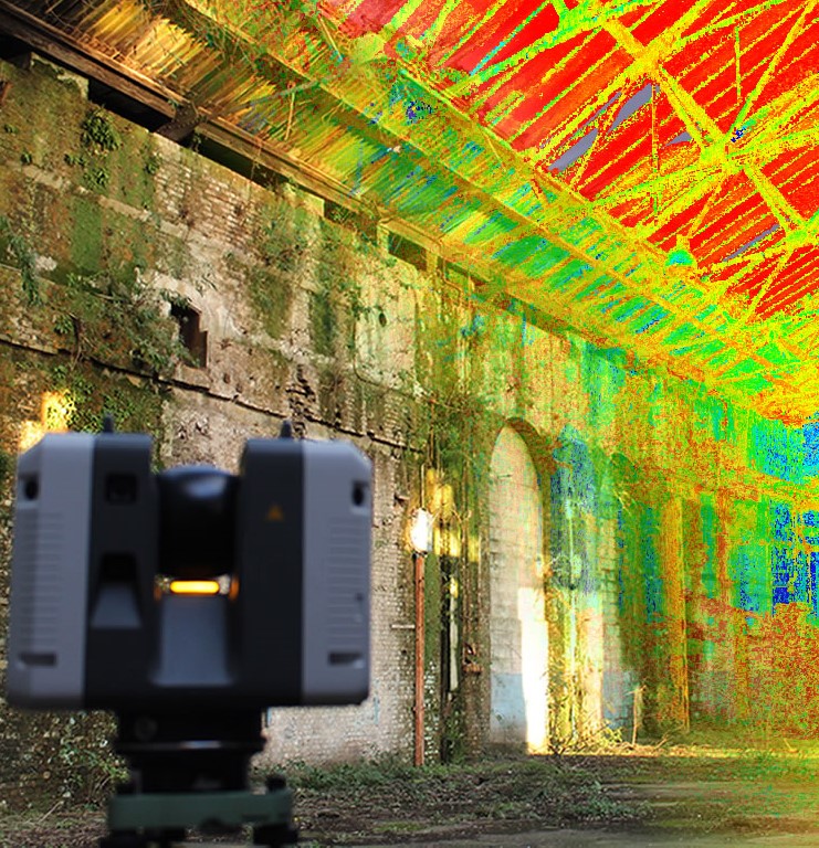
- 3D Contour Models – Three-dimensional models that visualise the terrain’s contours and features for more comprehensive analysis
Integrating these deliverables into GIS and BIM systems is simple, as we can provide them in AutoCAD 2D plans or 3D models to suit your needs and budget. This will allow you to accurately assess land development potential and plan construction.
Start a conversation with us today
Get a Topographical survey estimate by contacting our friendly team today.
Get SDS in for a Topographical Survey
At SDS, we’re a long-standing, dedicated surveying business, delivering our services to private and public sectors across Kent and beyond. We specialise in topographical land surveys, helping architects, engineers, and developers with accurate site mapping for safe, efficient project planning.
Whether you’re assessing land for development or evaluating flood risks, we provide precise data to inform design, mitigate risks, and streamline decision-making.
Contact our team today for more information about our surveying services or to book your Topographical Survey.