Helping you calculate water depths, prevent hazards & support flood control systems.
Mapping coastlines and rivers
Hydrographic and bathymetric surveys refer to marine topography, though the two surveys have similarities and differences.
What are Hydrographic and Bathymetric surveys?
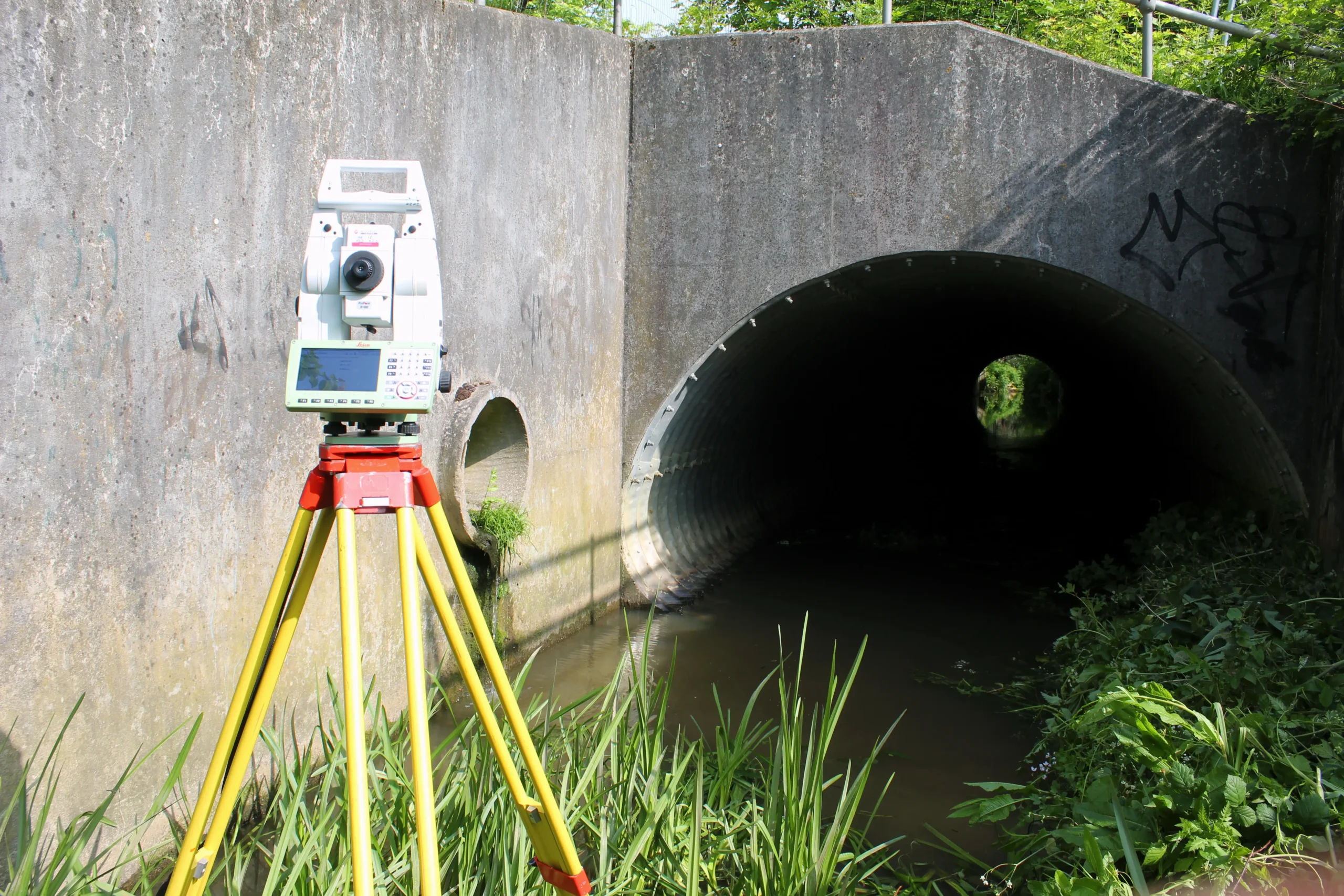
A hydrographic survey measures and determines the physical features of water bodies and nearby land areas, identifying and calculating the depth of water and the ground below the water. Their purpose is to plan for the safety of maritime transportation, helping us understand the elevations and contortions of the ocean floor, mapping out water depths, potential obstructions and the shape of the coastline.
As surveyors, understanding the seafloor obstructions and any arising issues helps us recommend how companies can plan maritime navigation, oil and gas drilling and marine construction safely and efficiently.
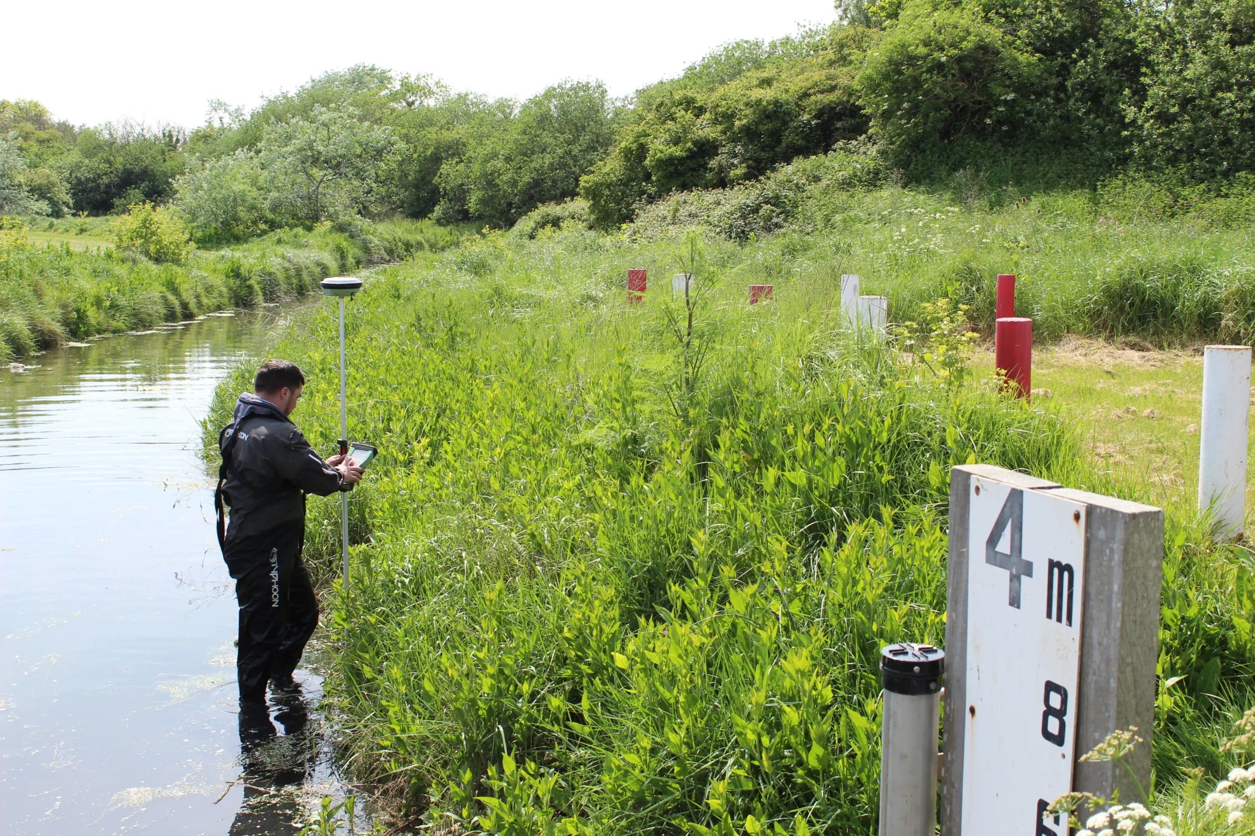
Bathymetric surveys are specialised hydrographic surveys providing a detailed topology of the sea bottom surface. These surveys describe the land underneath the body of water, including the depth. We collect data from water bodies such as lakes and rivers to inform potential project developments and flood assessments.
We use advanced sonar technology for our surveys, such as single-beam and multi-beam echo sounders, to create detailed maps of the sea floor and measure the depths of water bodies.
When are hydrographic and bathymetric surveys used?
Hydrographic and bathymetric surveys have various purposes, from future resource planning and hazard detection to building development.
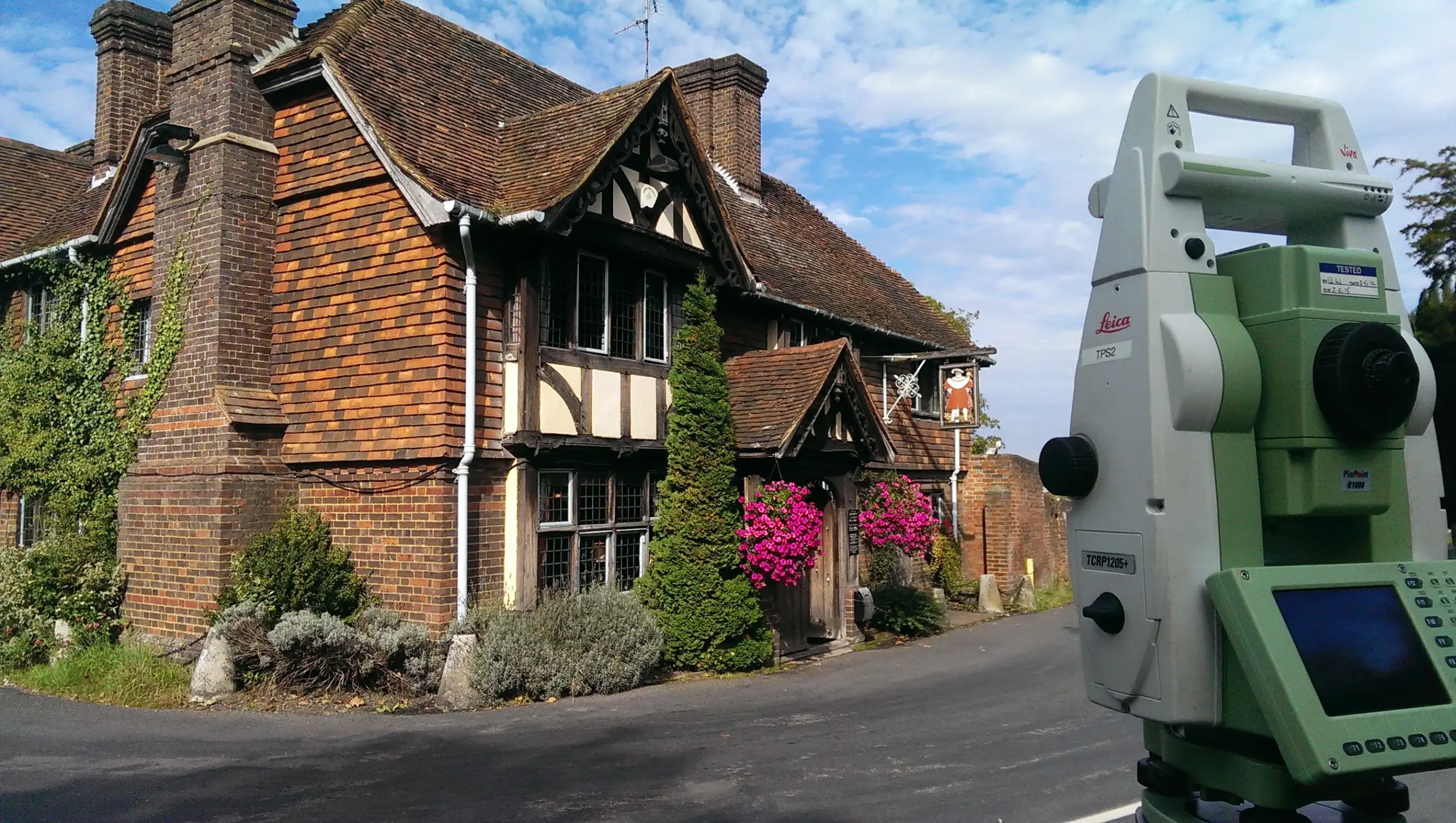
Hydrographic survey types include bathymetric, harbour, coastal and passage surveys. Hydrographic surveys calculate water depth, aiding navigation and supporting land projects, such as building a new bridge, directional drilling, planning canals and assisting the construction of docks and harbours.
Bathymetric surveys focus on water terrains to determine the volume of reservoirs and complement land-based surveys, providing data coverage below the water. An accurate survey of water bodies or rivers can help enable safe navigation for boats and vessels through the water, or suppling data for flood modelling within a river.
We conduct these surveys to support water terrains and detect hazards, examining what’s safe for the public and predicting natural events.
How do these surveys work with SDS?
We specialise in hydrographic and bathymetric surveys, using the latest technology for reliable and quality surveying results.
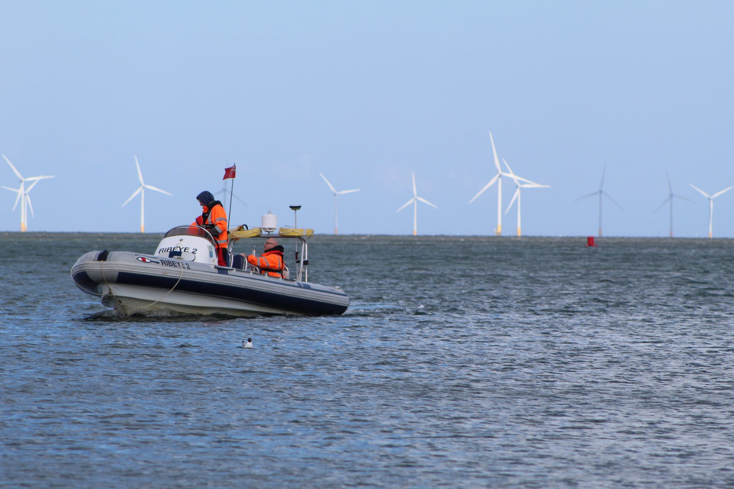
Hydrographic surveys use all variants of boats from the use of a Hydrone; a lightweight, remote-controlled survey boat with GPS and echo sounders attached or to larger work boats with side scan sonar, magnetometer and sub sea bottom profiling.
We use an echo sounder attached to a boat for bathymetric surveys to generate electric signals as the boat moves across the water. These signals are converted to sound waves by an underwater transducer. As the sound waves bounce off the underwater features, the echosounder identifies the echoes to calculate the distances.
We use various methods to conduct our bathymetric surveys, such as single-beam and multi-beam echo sounders, Acoustic Doppler Current Profiler (ADCP), using soundwaves to measure velocity and sub-bottom providers, using soundwaves directly at the waterbody’s floor, identifying the layers beneath the floor.
We work with various businesses and project types for bathymetric surveying, such as waterpower, sewage disposal, dock and harbouring engineering, river maintenance and flood management. We also work across other industries, shaping our surveying process to your requirements.
We prioritise our client’s needs using our specialised equipment and expertise to deliver results that help you plan your next project.
Start a conversation with us today
Get a Hydrographic survey estimate by contacting our friendly team today.
- Surveying since 1988
- Simple enquiry form
- Experienced team
Get SDS in for a Hydrographic or Bathymetric survey
At SDS, we’re a long-standing, dedicated surveying business, delivering our services to private and public sectors across Kent and beyond. We specialise in expert hydrographic and bathymetric surveys, supporting water and land structures to calculate water depths, prevent hazards and support flood control systems.
We focus on delivering quality and reliable services, ensuring our surveying assists you in future resource planning, building projects and solving your surveying requirements. For more information about our surveying services or to book your hydrographic and bathymetric survey, contact our team today.