Helping you map underground utilities with Ground Penetrating Radar and electromagnetic location for safer project execution.
Using radar technology to map what’s below ground
Ground Penetrating Radar locates underground utilities to ensure the safety and success of subsurface work.
What is Below Ground Utility Tracing?
Below Ground Utility Tracing locates and maps underground utilities, such as water pipes, gas lines, and electrical cables, using advanced electromagnetic location (EML), CCTV, and Ground Penetrating Radar (GPR).
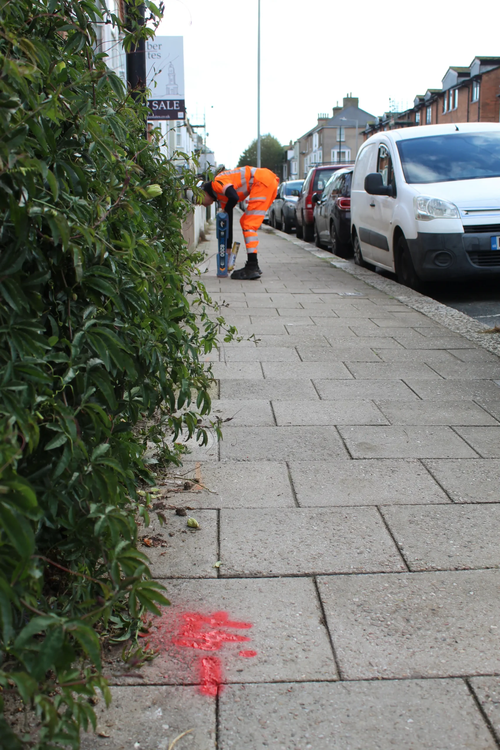
When identifying metallic utilities—such as water and gas pipes, high and low voltage electric cables, and telecommunication cables—EML is the best solution.
When looking to identify non-metallic utilities, such as plastic pipes and fibre optics, GPR is the best solution. This method can also identify other subsurface features like voids and tree roots.
We use GPR & EML to provide you with precise, real-time data without digging, which reduces the risk of accidental damage to your site. You can use this data to create site plans, ensure compliance with regulations, for long-term asset management, and to keep an accurate record of underground utilities.
When do you need Below Ground Utility Tracing?
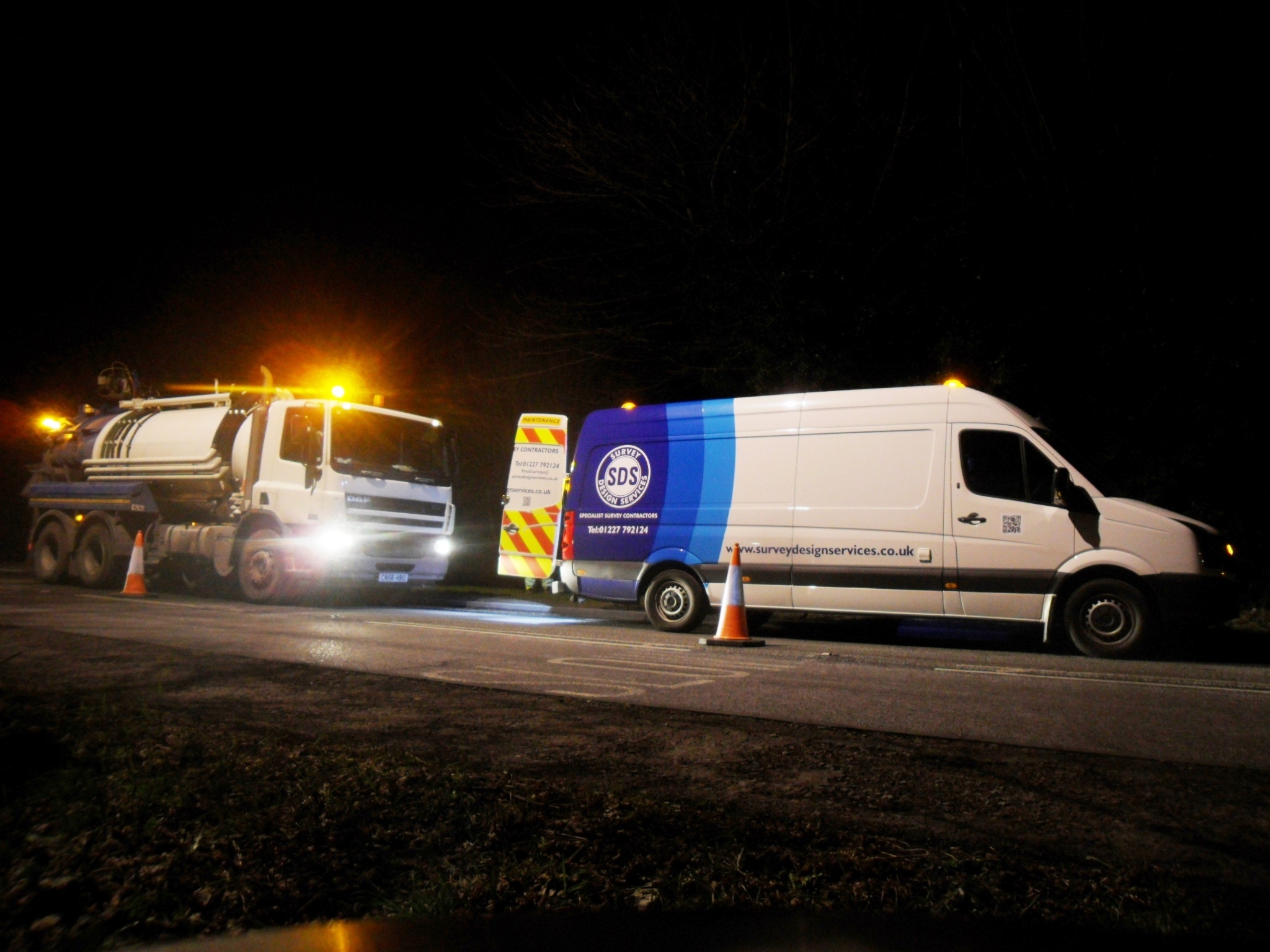
When trenching, foundation digging, or installing infrastructure, you risk accidentally hitting hidden utilities if their location and depth are unknown. This could result in dangerous leaks, fires, power outages, or worse, death from a power cable strike. Without Below Ground Utility Tracing, you’re likely to miss non-metallic pipes or cables, which are harder to detect using traditional methods.
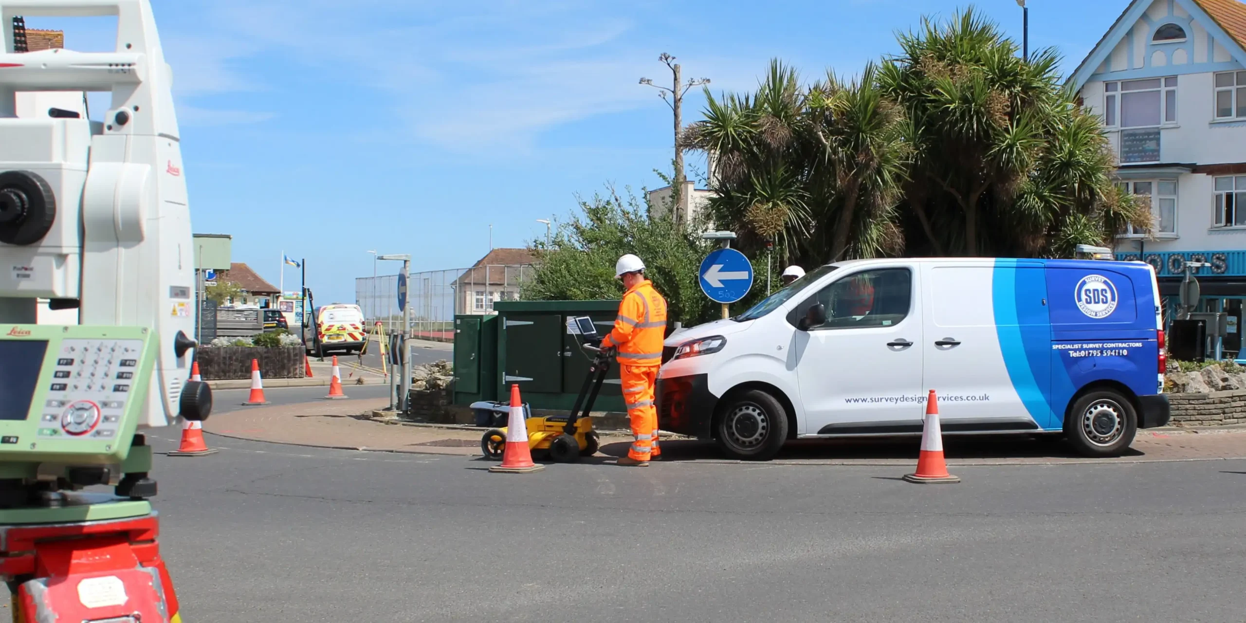
We use advanced GPR scanning technology and electromagnetic detection tools to accurately locate and map underground utilities at your chosen site. You can use this data to avoid utility damage, ensuring that your next construction project is done safely and without unexpected disruptions.
How does GPR Utility Tracing work with SDS?
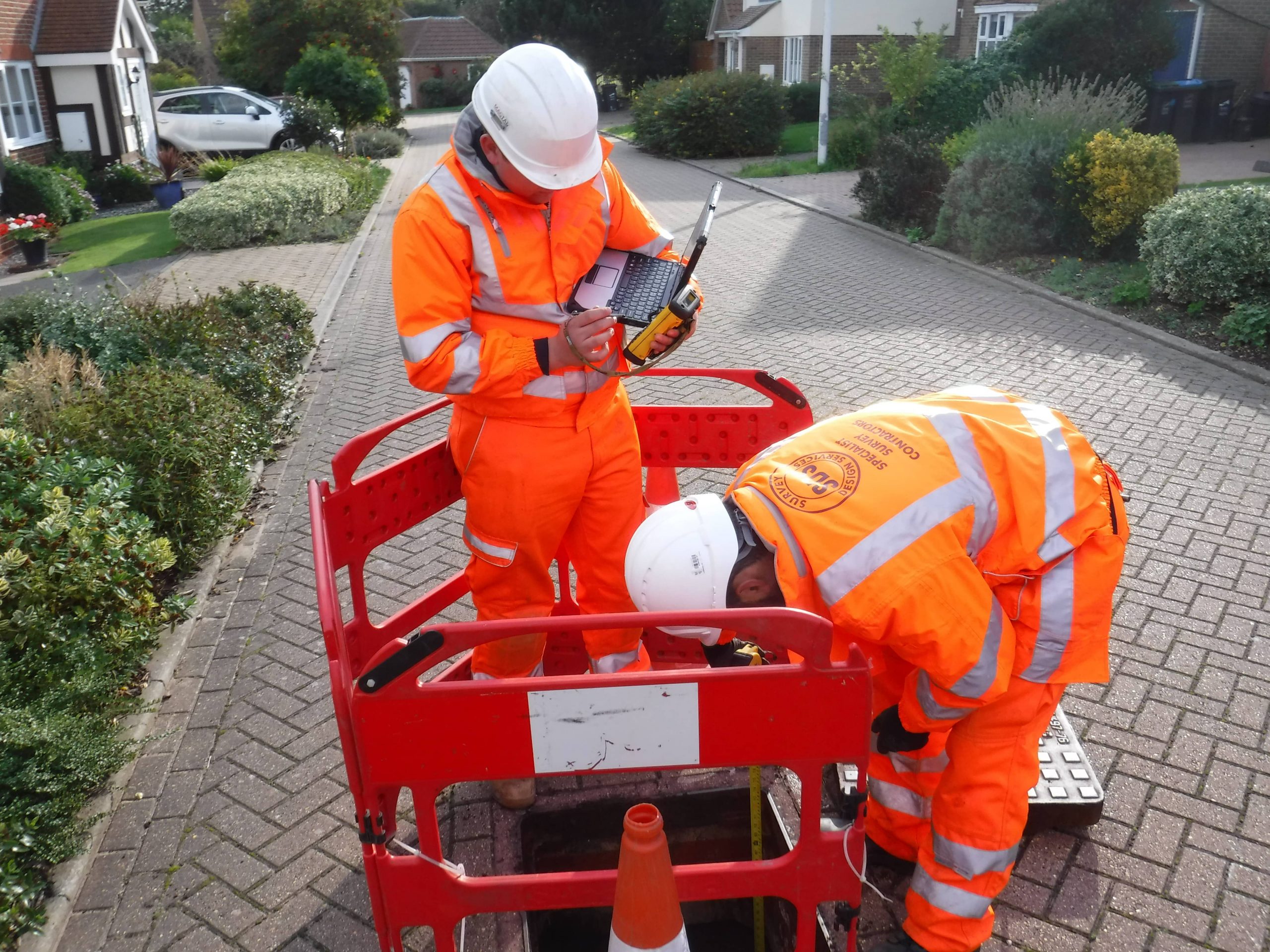
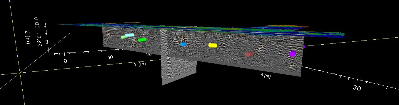
We locate underground utilities using IDS GPR which uses specialised antennas to send radar pulses into the ground, which bounce back from underground objects. This approach provides real-time data on the location and depth of utilities. We then process the data for greater accuracy and integrate it into CAD software to create precise digital maps and clear images of the subsurface.
We can combine GPR with CCTV, radiodetection, and electrolocation equipment to provide a comprehensive, reliable survey of your chosen site. If required, we mark or flag the results directly on site, providing immediate visual guidance to help construction teams avoid underground utilities.
Final utility surveys can be delivered to your team in a range of digital formats, including full 3D BIM/Revit drawings, CAD and PDF.
Your team will be able to efficiently plan construction projects, avoiding the need to redo parts of the project that could be disrupted by unseen underground obstacles. This allows you to meet deadlines, keep your construction team safe, and avoid the potential extra costs associated with unexpected disruptions.
Overall, by reducing these risks, GPR Utility Tracing streamlines the entire construction process, contributing towards smoother project completion.
Start a conversation with us today
Get a Below Ground Utility Tracing survey estimate by contacting our friendly team today.
Get SDS in for Below Ground Utility Tracing
At SDS, we’re a long-standing, dedicated surveying business, delivering our services to private and public sectors across Kent and beyond. We specialise in GPR Below Ground Utility Tracing, helping contractors, developers, and project managers to accurately map metallic and non-metallic underground utilities, and other subsurface features.
Whether you’re digging for new infrastructure or planning a construction project in an area with existing utilities, we provide precise underground utility maps to prevent damage and ensure your team’s safety.
Contact our team today for more information about our surveying services or to book your Below Ground Utility Tracing.