Helping you model land and infrastructure in 3D to catch design clashes with existing utilities before they cause problems.
Information-rich 3D models of land, utilities, and infrastructure.
Using geospatial data, BIM creates detailed 3D models of construction site assets to ensure your infrastructure project stays on track.
What is BIM?
BIM stands for Building Information Modelling; it is a process that involves creating and managing digital representations of the physical and functional characteristics of a building or infrastructure project. While BIM is commonly associated with the architecture, engineering, and construction (AEC) industry, it can also be applied to the land survey industry to enhance surveying and mapping processes.
When do you need BIM?
When embarking on a building or infrastructure project, outdated or incomplete data can lead to risky decision making. If construction plans clash with existing underground utilities, hazards might go unnoticed until excavation begins, causing delays, unexpected costs, and potential damage to vital infrastructure.
We use BIM technology to integrate data, visualize designs, and highlight conflicts early, allowing your team to adjust designs before construction begins.
How does BIM work with SDS?
In the land survey industry, BIM can be used to integrate survey data into a comprehensive 3D model, providing accurate and detailed information about the land and its features. Here’s how BIM can be applied in land surveying:
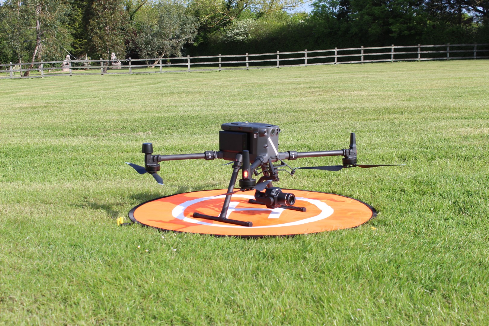
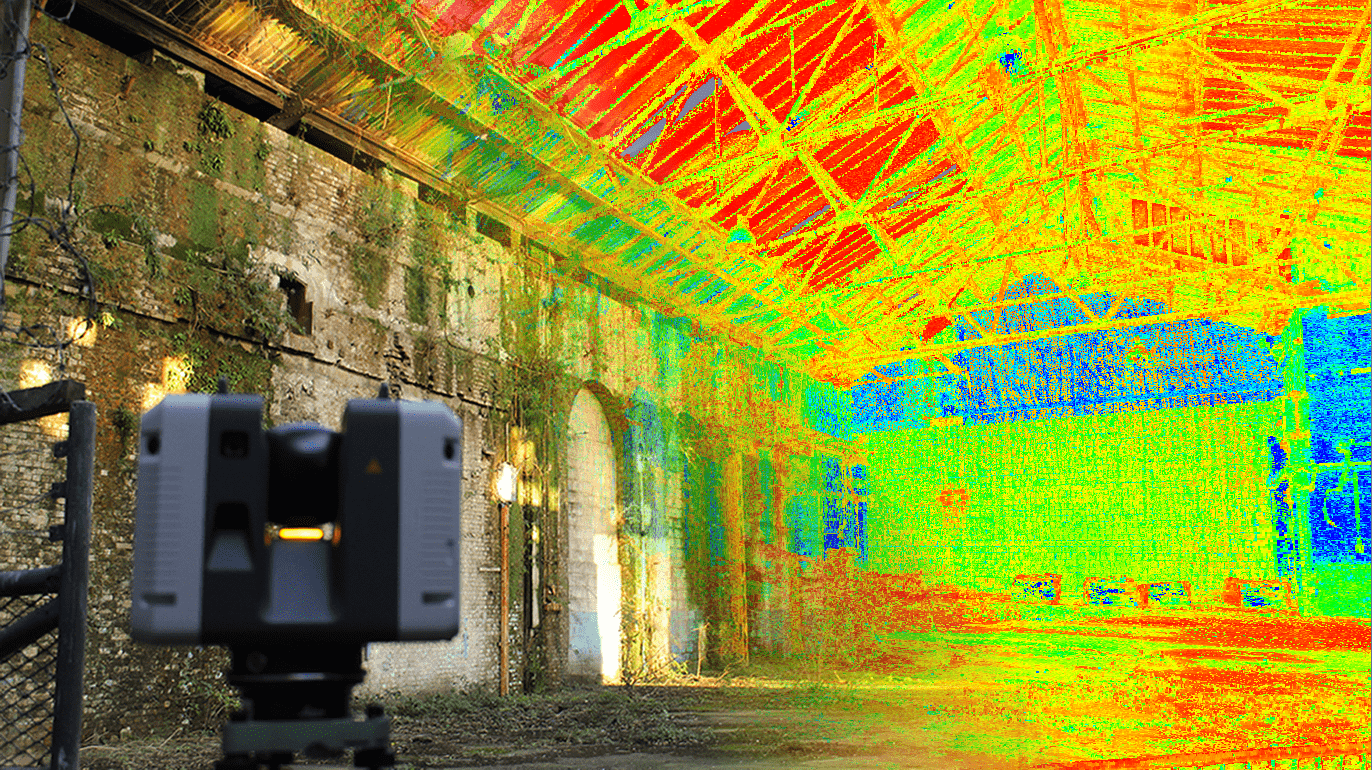
Data Integration: BIM allows surveyors to combine different types of data sources, including traditional survey measurements, aerial LiDAR (Light Detection and Ranging) data, satellite imagery, and ground-penetrating radar (GPR) scans. This integration creates a more complete and precise representation of the land.
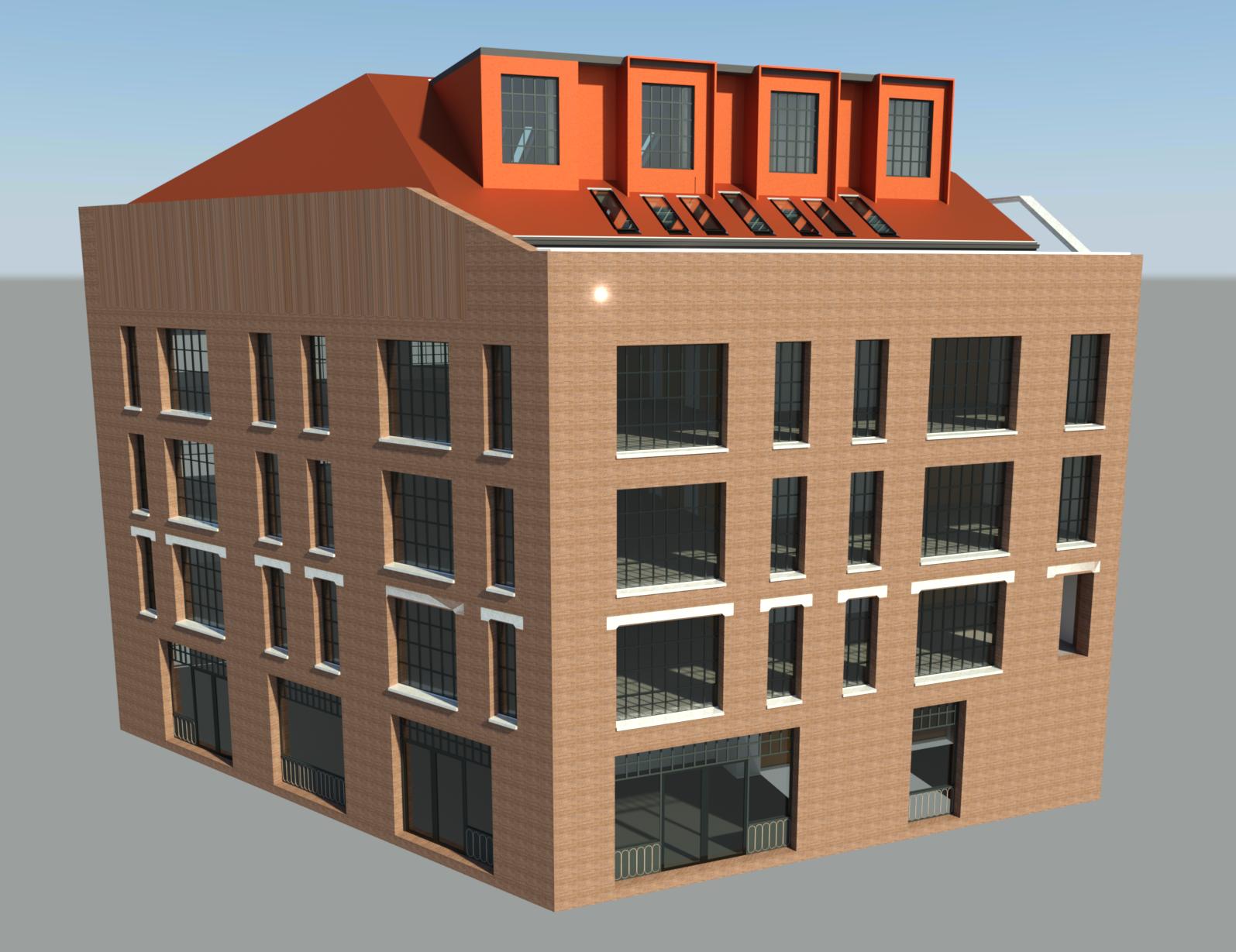
3D Visualisation: BIM software enables Users to visualize and interact with the survey data in a three-dimensional environment. This visual representation helps stakeholders, including engineers, architects, and clients, to better understand the features and potential challenges with the project.
Clash Detection: BIM can assist in identifying clashes or conflicts between proposed designs and existing features. By overlaying the survey data onto the BIM model, surveyors can detect any discrepancies or clashes, such as building encroachments or utility conflicts, before construction begins. This allows for proactive problem-solving and reduces costly errors.
Quantities and Measurements: BIM can facilitate accurate quantity take-offs and measurements. By integrating survey data into the BIM model, surveyors can extract precise measurements for volume calculations, cut and fill analysis, and determining areas for site planning or earthwork activities.
Data Management and Collaboration: BIM provides a centralized platform for storing, managing, and sharing survey data. This streamlines communication and collaboration among surveyors, engineers, architects, and other project stakeholders, ensuring everyone has access to the latest information and reducing the chances of miscommunication.
By incorporating BIM into the land survey industry, surveyors can benefit from improved accuracy, enhanced visualisation, streamlined workflows, and better collaboration with other professionals involved in the design and construction process.
Start a conversation with us today
Get a BIM estimate by contacting our friendly team today.
- Surveying since 1988
- Simple enquiry form
- Experienced team
Get SDS in for BIM
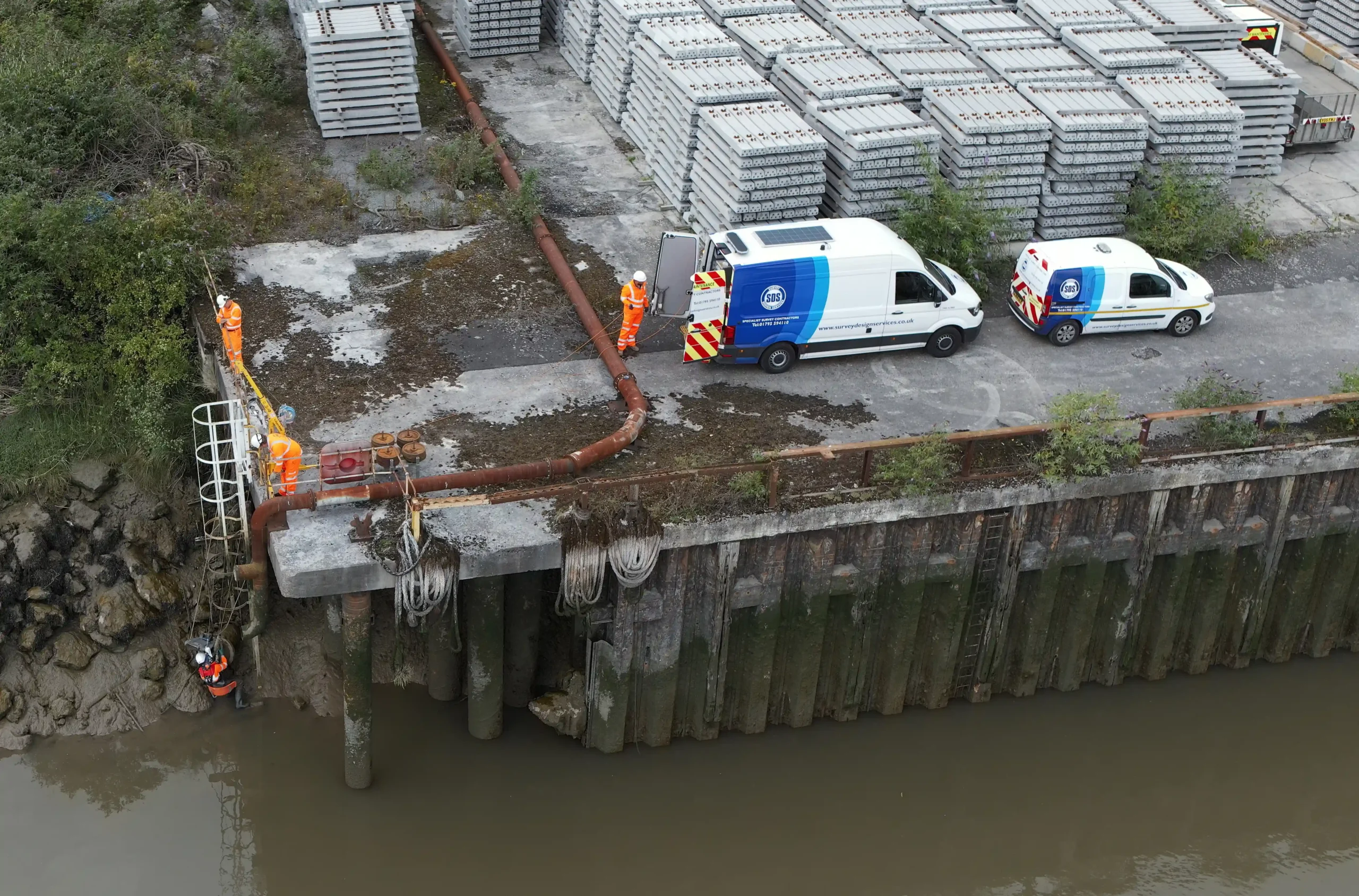
At SDS, we’re a long-standing, dedicated surveying business, delivering our services to private and public sectors across Kent and beyond. We specialise in BIM, helping construction and infrastructure teams to integrate critical data to create detailed 3D models of a site.
Whether you’re managing complex land development or overseeing utility projects, we provide accurate, real-time data to keep your project running safely and smoothly.
Contact our team today for more information about our surveying services or to book your BIM survey.